Plan Your Travel To San Francisco
Places To Visit In San Francisco
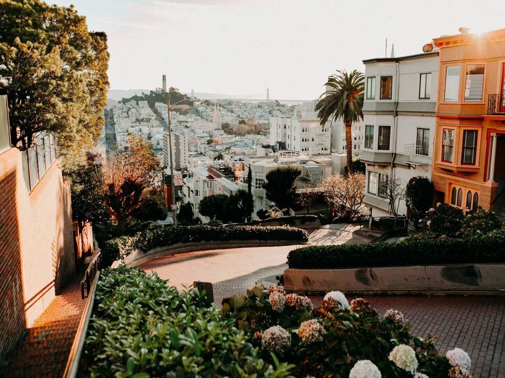
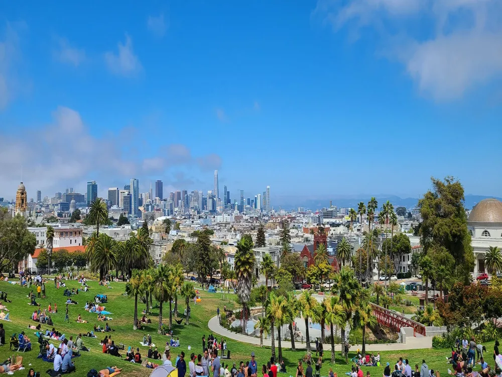
Bernal Heights Park
Bernal Heights is a hillside park situated in the southeast of San Francisco. The park is at 400 ft. height, which imparts 360 degrees scenic view of the notable sights of San Francisco like the downtown, SF Skyline, the Sutro Tower, and the surrounding Bay Area. This peak was formed due to the collision of the Pacific and Northern American plates. It lies on the bedrocks.
Bernal Heights Park sits between a residential area.
There's also a swing to enjoy while having a panoramic view of the city. The park mostly has open grasslands. Several entrances and intersecting trails are there, leading to the top. And almost all are dirt paths with a rocky-stretch. The park features an exclusive off-leash playing area for dogs. There are three parking spots and one extra spot for handicapped parking in a small lot on Folsom Street. Also, street parking is accessible throughout the length of the street, on the roadside. However, taking an Uber or Lyft ride would be an easier and untroubled way to reach Bernal heights park, being free from parking tension and car break-ins.
Read More
Bicentennial Campground

Bicentennial Campground remains an ideal spot for camping and relishing the view of San Francisco’s esteemed treasure- the Golden Gate Bridge. Tucked within the Marine Headlands of Marin County, this camping site enjoys bounty vegetation and distinct Northern Californian wildlife. With trails spurting out, the tourist destination also enjoys close proximity to Rodeo Beach, Point Bonita Lighthouse and Nike Missile Site.
The sole campground in the Golden Gate National Recreation Area- Bicentennial Campground is cherished for its easy accessibility and is home to three campsites where each tent has a maximum capacity of 3 people, with an uphill parking lot.The campground offers picnic tables, food lockers, barbeque grills, portable restrooms and pit toilets; and also allows gas stoves for avid campers. Drinking water can be fetched from the Marin Visitor Centre which is only a mile away from the campground. Sights of black-tailed deer grazing amidst the dense cypress trees are common yet among the most surreal experiences of the campground.
Read More
Bolinas Beach
With an extremely picturesque view, but a rather rocky bottom , Bolinas Beach is a favourite amongst surfers due to the low but regular waves. Just about 13 miles northwest of San Francisco, it Is located on the Southern Coast of Marin. For tourists it could be quite a hassle reaching Bolinas as the locals are not very fond of outsiders visiting their reclusive village.
The beach area has tide pools and the beach is exceptionally long between the Pacific Ocean and the Bolinas Lagoon which starts approximately 4 miles north of the Pacific. The lagoon covers about 1100 acres along with 16 square miles of watershed feeding into the area. The tides usually permit surfing throughout the day, so just hop on and let the current carry you towards the ocean. If you aren’t fond of surfing , a relaxing walk around the beach is favoured by many as there is a slight breeze and the temperature of the water is fairly cool here. The beach has two spots for surfers: The Channel and The Patch, which offer extremely opposite surfing conditions , in terms of wave size and style. For beginners, The Channel is the perfect place to start as the waves are not very strong and easy to catch. Bolinas however has several sharks and there have been 11 attacks in the past few years but thankfully non fatal. So we recommend not wandering very deep into the water. The locals of the area are very protective of the area, hence do not leave any waste behind and follow any rules that might be in place.
Read More
Bridalveil Fall

Another stellar waterfall flowing majestically from the Yosemite Valley is Bridalveil Falls. Present in the Yosemite National Park near El Portal in Mariposa County, California, the total height of the falls is 617 feet and its main source remains Ostrander Lake on its south. The perennial falls are also known as the “Pohono” in its Native-American counterpart for its brutal cold winds in winter and icy wet sprays in spring.
A 0.25 miles paved trail leads from the Bridalveil Fall Parking Area to the base of this waterfall which also facilitates a safe path for physically handicapped or those on wheelchairs. Parking is also allowed at pull outs across the Wawona Road at Highway 41 or along the Southside Drive near signpost V14. The dramatic view of the Bridalveil fall can be experienced across the Merced River, at the Tunnel View Lookout, from Southside Drive and the Big Oak Flat Road.Hikers must carry their own drinking water and it is also advised to carry your food within your arm’s reach and it must not be fed to the wildlife. Restrooms are only available in the parking area and only leashed dogs can be allowed entry on the trail. Slippery rocks and boulders are expected above the viewing platform so safety must be taken at all measures.
Read More
Brooks Island

Brooks Island is largely a flat piece of land in San Francisco Bay, situated in the South of Richmond Inner Harbor in Richmond, California. It is stretched out from a 160 ft. lofty round hill, called the Jefferds Hill. In 1853, this island got its name Brooks Island in maps of California. Originally, it was named as Isla de Càrmen, by a Spanish explorer. Over the past, it has also been called the Rocky Island, Sheep Island, and Bird Island.
The Ohlone Indians were the native inhabitants of this Island, who dwelled here for thousands of years. The Island is administered by the East Bay Regional Park District. The regional park district bought this Island in 1968. It was opened for the general public in 1998. Currently, the only access to Brooks island is authorized by the ranger-guided naturalist tour. The island is a habitat for some rare species of plants, involving the indigenous coastal grasslands. It is a nesting destination for more than 18 species of birds, such as herons, egrets, Caspian terns, etc. It's also a habitat for few amphibian species and Harbor seals. There are minimal facilities over this island.
Read More
Buena Vista Park
Buena Vista is a public park in the Buena Vista and Haight-Ashbury heights neighborhood. The park is located in the center of the city and offers spectacular views of the San Francisco city from the top of lush slopes. This park is spread across 36-acres, and is the oldest park in San Francisco. It is a place for recreation, to enjoy the outdoors, and spend time with your loved ones.
This park was once an arid hill, with sandy-dune like terrain. However, after the establishment of the park in 1867, the park was put under development with a heavy supply of trees. Today, the place is amid lush greenery!The park features a playground for kids with slides, swings, and benches. The area is on a bed of sand with trees all around. There are two outdoor tennis courts, functioning on a first come, first serve basis. Along the west side of the park, the paths are lined with repurposed broken headstones from the Victorian cemetery. The park also features coast live oak woodlands. Various events & activities are held in the park occasionally.
Read More
Burney Falls

Burney Falls are managed by the McArthur-Burney Memorial Falls State Park which is located in Shasta County of California. Declared a National Natural Landmark, the 129 foot long waterfalls are one of its river drainage which runs down to the Burney Creek and finally joins the Pit River.
The Burney Falls Trail is ideal for hiking and strolling with adoring views of the Cascade Mountains. The trail, which is forty miles north of Lassen Volcanic National Park, leads to the crescendo of the waterfall’s foot which is constituted of underground streams.
The waterfalls are named after the pioneer settler Samuel Burney who stayed in the area in the 1850s. Evergreen forests and wildlife including steller’s jays, squirrels, woodpeckers, deer and black bears along with marine life such as trout and bass are inhabitants of the area. The park provides a range of recreational activities such as camping, fishing, swimming, horseback riding, canoeing, kayaking, motorized patio boating, and bird watching. It also encloses within a rail-ridge and Lake Britton. The park is equipped with 24 cabins with close proximity to restrooms, showers, grills and camp-store. The campers are suggested to bring their own mattress and drinking water containers as the cabins have no electricity or water supply.
Read More
Cable Car Museum

The museum is an interesting display on the historic cable car system of San Francisco.
The San Francisco Cable Car System is one of the oldest popular such system in the world, and the museum traces it's heritage and development from it's inception in 1873. It houses collections of the various devices that have been used in cable cars over the years, including tracks, cables, etc and also photographs of historic importance. The museum also houses three antique cable cars from the very first lines back in 1870, the Sutter Street Railway's grip car 46 and trailer 54 and Clay Street Company's grip car 8, the only remaining car from the first cable car company.
Not only a museum, the museum actually houses the cable car line's powerhouse and a viewing deck overlooking the barn.
Entry into the museum is free.
Read More
Cable Car Museum
The Cable Car Museum, located at Washington cable car barn and powerhouse in San Francisco, is an impressive museum describing the history, building and working of the cars. The San Francisco municipality still uses a fleet of Powell Sreet and California Sreet cars in the state. The museum hosts an annual event of bell-ringing contest to acknowledge and celebrate the evolving history of cable cars and the people running it. It showcases antique cable cars and a variety of devices like tracks, brakes, mechanisms, etc. used for functioning the cable cars. They have a huge collection of momentous photographs on display and a museum gift shop that includes books, apparel, souvenirs and cable car bells.
Read More
Cable Car System
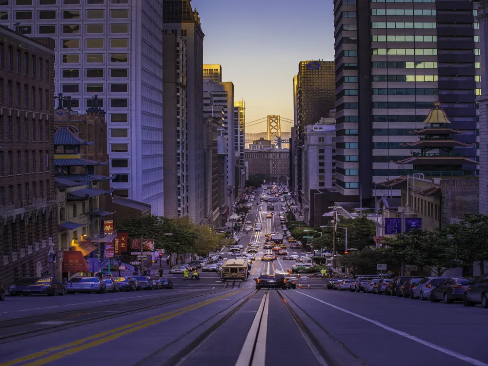
The San Francisco Cable Car System is a historic mode of transport which was established in the 19th century. Today, it serves as a major tourist attraction and a majority of it's users are tourists.
The city's cable car system is actually the last system in the world which is still operated manually. Today, there are only three routes remaining out of the original 23. It has mainly been preserved as a tourist attraction only and is mostly only used by tourists today.
The three lines operating today are the Powel - Mason, Powel - Hyde and the California Street line. The Power - Hyde line is the most popular among tourists and the California Street line is the line still most used by commuters during the weekdays.
The cable cars can be paid for by cash, or by the Muni pass or the CityPASS program.
Read More
San Francisco Travel Packages
View All Travel Packages San Francisco
Nearby Places San Francisco
Browse Package Collections
Browse Hotel Collections